Ground Penetrating Radar (GPR)
Uncover subsurface risks with Enviro Test Construct’s reliable and scalable GPR technology for environmental testing.
Overview
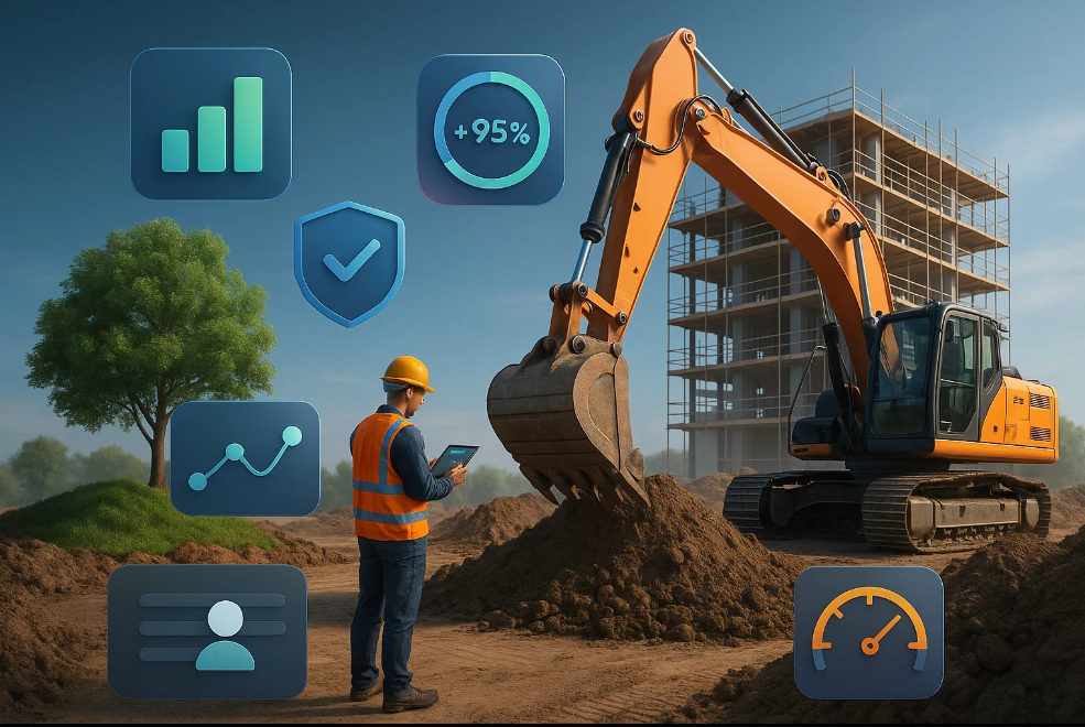
At Enviro Test Construct, we deliver advanced Ground Penetrating Radar (GPR) systems designed for subsurface imaging in environmental site assessments and contamination detection. Ideal for non-invasive exploration, our Level 2 GPR solutions provide high-resolution data critical to understanding underground conditions before excavation or construction begins. Whether detecting utilities, voids, or buried contaminants, our systems enable fast, accurate, and safe diagnostics across diverse terrains. Headquartered in Miami, Florida, and supported by strong partnerships with leaders like GAO Tek and GAO RFID, we lead in innovation, reliability, and customer-centric solutions tailored for the construction and environmental testing sectors across North America.
Core Components

Hardware
- LED light indicators (mounted on racks or shelving units) – Best aligned with Display Screens under the Electronics category, offering visual status feedback for GPR system interfaces.
- Touch or sensor-based confirmation buttons – Matched with Touchscreen Peripherals in Electronics, enhancing operator interaction with GPR control systems.
- Barcode/RFID scanners for validation – Linked to UHF RFID Readers, Tags & Accessories under BLE & RFID, enabling asset and equipment tracking on-site.
- Industrial-grade control panels – Suited to Device Edge under Edge Computing, facilitating localized and ruggedized processing of GPR signals.
- IoT-enabled gateways for seamless connectivity – Best represented by LoRaWAN Gateways, ensuring reliable long-range wireless data transmission from GPR units in construction zones.

Software
- RadarView™ Imaging Suite – Real-time data visualization and post-scan analysis
- DepthMaster™ Analytics – Automatic depth estimation algorithms and 3D modeling tools
- AutoMark Utility Detection – Highlights underground utilities and anomalies during surveys

Cloud Services
- GeoCloud™ Portal – Secure data storage, report generation, and team collaboration tools
- Real-Time Collaboration – Share scans and markups instantly with remote stakeholders
- Compliance Audit Logs – Store historical project data for regulatory reporting
Key Features and Functionalities
- Subsurface scanning up to 30 feet depth (depending on soil type)
- Dual-mode antenna support for multi-frequency scanning
- Real-time visualization and interpretation on site
- Integrated GPS mapping for geo-tagged imaging
- Automated anomaly detection and utility marking
- Offline mode for remote operations without network coverage
Integrations
- GAO RFID technology for equipment tracking and sample verification
- AutoCAD and GIS platforms for spatial modeling and map overlay
- BIM (Building Information Modeling) compatibility for digital construction workflows
Compatibility
- Operates on Windows and Android platforms
- Seamlessly integrates with field data loggers and third-party sensors
- Cloud systems compatible with most enterprise IT security protocols

Benefits of Partnering with Enviro Test Construct
- Non-Invasive: No need for trenching or drilling
- Time-Saving: Rapid scans allow for quicker decision-making
- Accurate: Industry-leading resolution and signal penetration
- Versatile: Adaptable for urban, rural, and remote environments
- User-Friendly: Minimal training required with intuitive UI
- Regulatory Ready: Preconfigured to align with North American compliance standards
Applications
- Contaminated land investigations
- Underground utility detection
- Soil layer mapping and profiling
- Concrete scanning for embedded objects
- Archaeological and forensic investigations
- Infrastructure inspections (tunnels, bridges, roadways)
Case Studies

Relevant Industry Standards & Regulations
ASTM D6432
FCC Part 15 (for radar emissions)
Canadian Radiocommunication Act
EPA Subsurface Investigation Guidelines
CSA S6 & S37 for infrastructure compliance
OSHA Construction Standard 29 CFR 1926
Looking to detect subsurface risks before they become project delays?
Our team at Enviro Test Construct is here to help.
To learn more about our GPR solutions, request a quote, or speak with one of our environmental testing specialists. Empower your projects with clarity and confidence.